Travel Guide of Seal Rocks in Australia by Influencers and Travelers
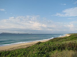
Seal Rocks is a small coastal settlement in the Mid-Coast Council local government area, in the Mid North Coast region of New South Wales, Australia, 275 kilometres north-north-east of Sydney.
Download the Travel Map of Australia on Google Maps here
The Best Things to Do and Visit in Seal Rocks
TRAVELERS TOP 10 :
1 - Sugarloaf Point Lighthouse
Seal Rocks is a small coastal settlement in the Mid-Coast Council local government area, in the Mid North Coast region of New South Wales, Australia, 275 kilometres north-north-east of Sydney.
Learn more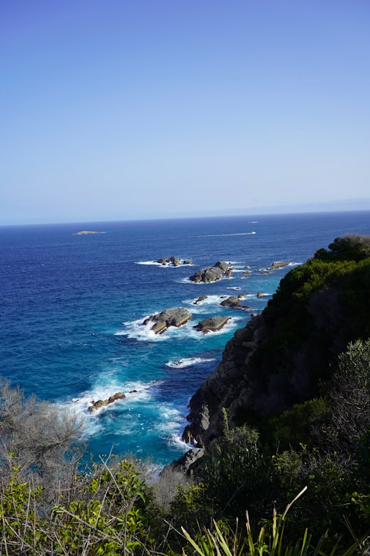
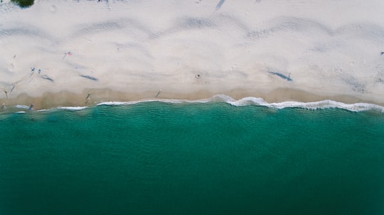
2 - Boomerang Beach
11 km away
Learn more
3 - Myall Lakes National Park
18 km away
Myall Lakes National Park is a national park located in New South Wales, Australia, 236 kilometres north of Sydney. It encompasses one of the state's largest coastal lake systems Myall Lakes, and includes Broughton Island.
Learn more Book this experience
4 - Bicentennial Park
28 km away
Bicentennial Park is a recreational area in Rockdale, a suburb of Sydney in New South Wales, Australia. It features a bike track, athletics facilities and soccer and rugby league grounds.
Learn more Book this experience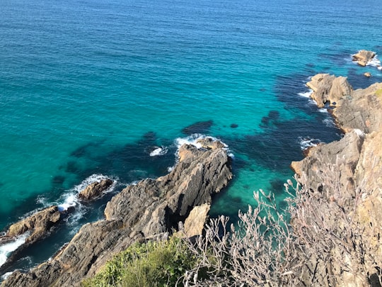
5 - Forster NSW
29 km away
Forster is a coastal town in the Mid North Coast region of New South Wales, Australia, in the Mid-Coast Council LGA, about 308 km north-north-east of Sydney. It is immediately adjacent to its twin, Tuncurry, which is the smaller of the two towns. Forster is known for its stunning waters & Manning Valley beauty.
Learn more
6 - Tuncurry NSW
30 km away
Tuncurry is a coastal town in the Mid North Coast region of New South Wales, Australia, in the Mid-Coast Council LGA, about 308 km north north east of Sydney. It is immediately adjacent to its twin town of Forster, which is the larger of the two towns. At the 2016 census, the Forster-Tuncurry area had a population of 19,918 people. This number grows considerably in the tourist season. The population of Tuncurry alone was 6,186.
Learn more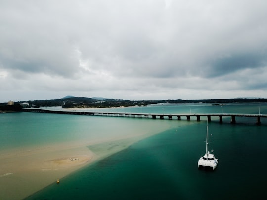
7 - Zenith Beach
45 km away
Learn more
8 - Diamond Beach
46 km away
Diamond Beach is a coastal town in the Mid North Coast region of New South Wales, Australia, in the Mid-Coast Council LGA, about 235 km north-north-east of Sydney. At the 2011 census, Diamond Beach had a population of 849 people.
Learn more
9 - Nelson Bay
47 km away
Nelson Bay is a significant township of the Port Stephens local government area in the Hunter Region of New South Wales, Australia.
Learn more
10 - Shoal Bay NSW
47 km away
Shoal Bay is the most eastern suburb of the Port Stephens local government area in the Hunter Region of New South Wales, Australia. It is located on the southern shore of Port Stephens, adjacent to the bay of the same name at the entrance to the port.
Learn more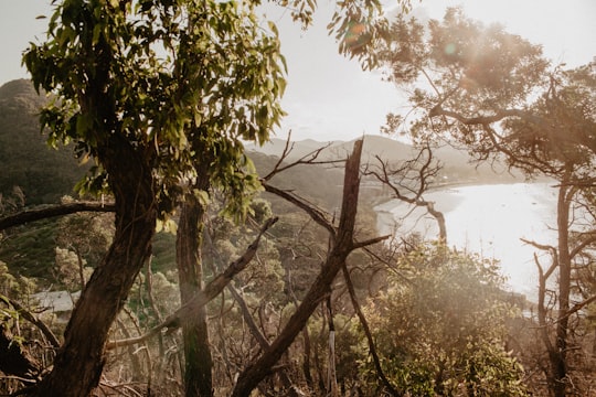
Disover the best Instagram Spots around Seal Rocks here
Book Tours and Activities in Seal Rocks
Discover the best tours and activities around Seal Rocks, Australia and book your travel experience today with our booking partners
Plan your trip in Seal Rocks with AI 🤖 🗺
Roadtrips.ai is a AI powered trip planner that you can use to generate a customized trip itinerary for any destination in Australia in just one clickJust write your activities preferences, budget and number of days travelling and our artificial intelligence will do the rest for you
👉 Use the AI Trip Planner
Where to Stay in Seal Rocks
Discover the best hotels around Seal Rocks, Australia and book your stay today with our booking partner booking.com
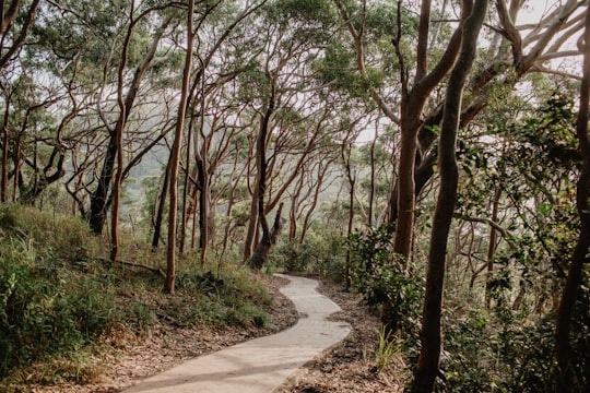
More Travel spots to explore around Seal Rocks
Click on the pictures to learn more about the places and to get directions
Discover more travel spots to explore around Seal Rocks
🗼 Landmark spots 🌲 Forest spots 🏖️ Headland spotsTravel map of Seal Rocks
Explore popular touristic places around Seal Rocks
Download On Google Maps 🗺️📲